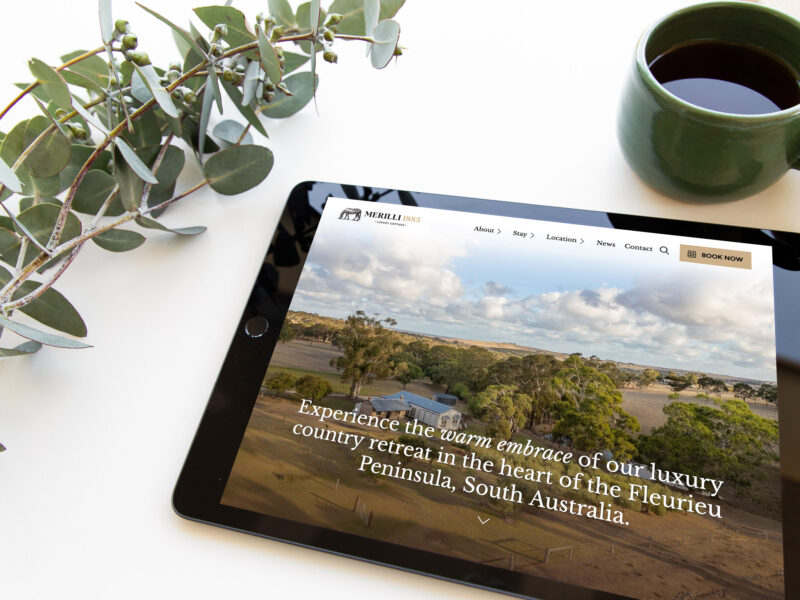
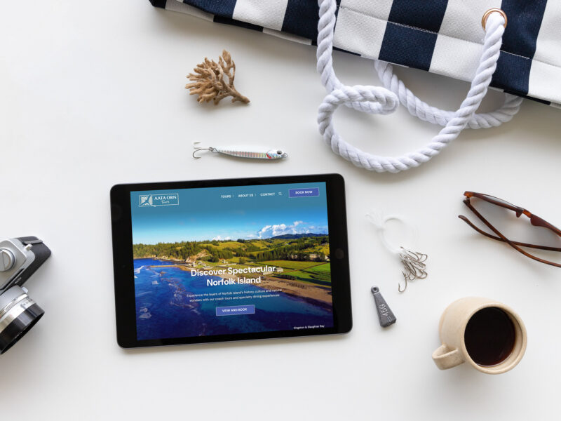
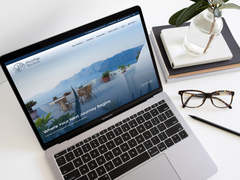
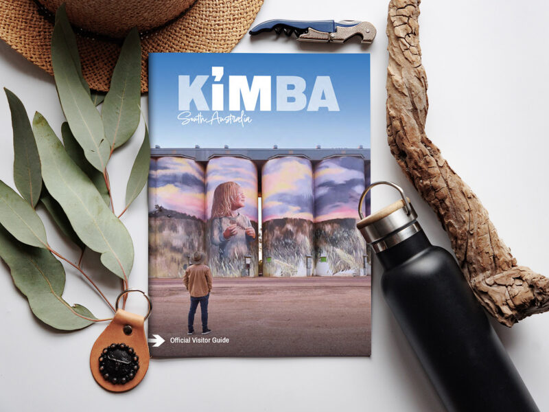
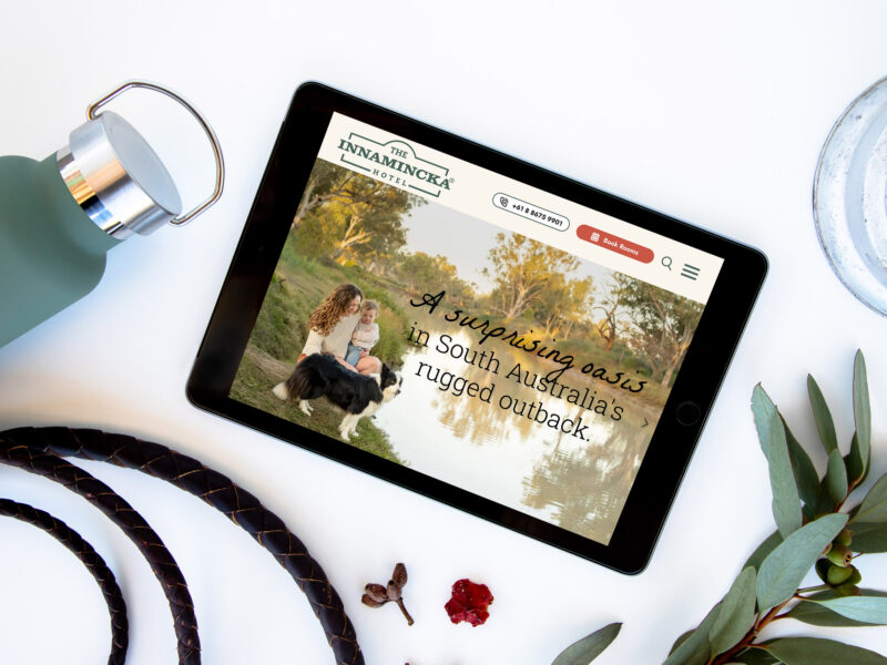
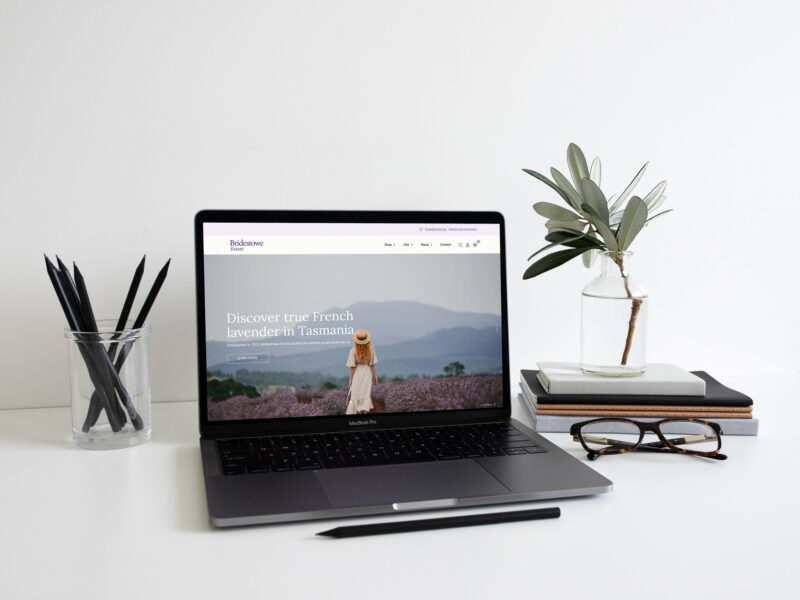
Since designing and producing the first Nullarbor Map back in 2001, Woof Media have produced 10 editions of the publication in partnership with the official tourism bodies on both sides of the Nullarbor in South Australia and Western Australia, RDA Whyalla & Eyre Peninsula and Australia’s Golden Outback, respectively.
Over 800,000 maps were distributed up to 2014, a testament to its popularity amongst travellers who would often take them home as a souvenir of their trip!
The Brief: Create a Digital Nullarbor Map
For the next edition of the publication, in 2014, we were given a brief to bring the map into the digital age. However this was no easy task, since there is not consistent and reliable internet access across the entire Nullarbor route, so combining print and digital was essential.
What We Delivered
- Formulation of initial ideas and concepts for print and digital media
- Execution of the marketing campaign
- All advertising sales, including a sales surplus
- Design and print production
- Digital publishing, both online and app versions
The Outcome
A multi-platform strategy was devised, with the map to be turned into a digital publication that created an interactive user experience – bringing the entire map to life on the tablets of Nullarbor travellers.
We created the 32-page digital publication with user-friendly navigation that was designed specifically for use on a tablet. Along with a web version, it was published to both Apple and Android app stores so that travellers could download and use the app offline.
Ultimately, the most important deliverable was the satisfaction of the Nullarbor traveller. Having this iconic travel guide available in print, web and app form gives them the detailed information they need, when and how they wish to consume it.